Iinan, Shimane on:
[Wikipedia]
[Google]
[Amazon]
is a town located in Iishi District,
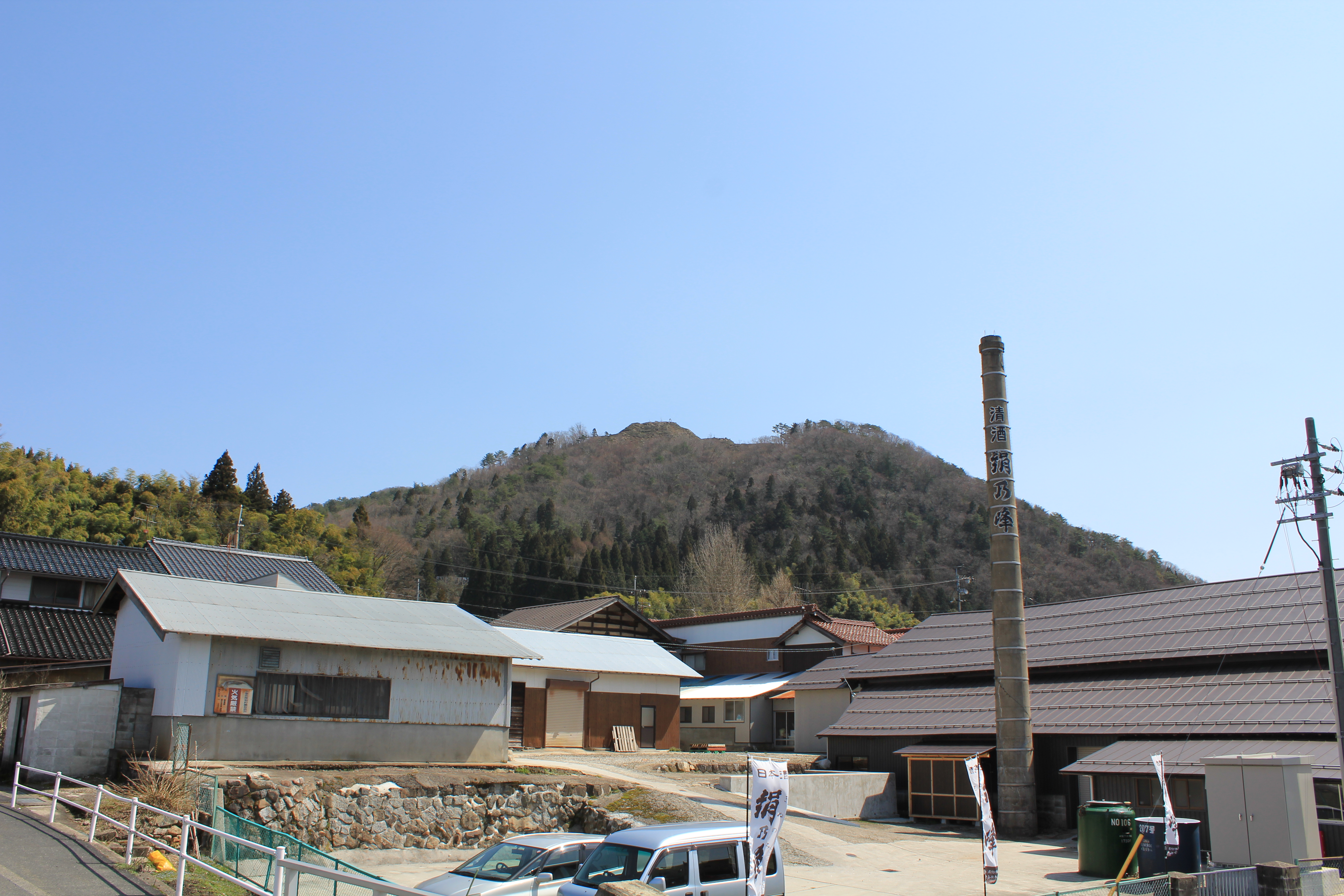
 *Akana Castle
*:It is an old castle located on top of a hill in the Akana area of the town.
*Mount Mengame
*:Situated on the border of Hiroshima Prefecture and Shimane Prefecture, Mount Mengame has an elevation of 830.3m. It is known for being the only place in the Chūgoku Region in which Luehdorfia are found.
*Mount Kotobiki
*:Mount Kotobiki has an elevation of 1014m. Near the summit of the mountain is a small shrine and a forest of beech trees. The name "Kotobiki" comes from the traditional Japanese musical instrument, the ''
*Akana Castle
*:It is an old castle located on top of a hill in the Akana area of the town.
*Mount Mengame
*:Situated on the border of Hiroshima Prefecture and Shimane Prefecture, Mount Mengame has an elevation of 830.3m. It is known for being the only place in the Chūgoku Region in which Luehdorfia are found.
*Mount Kotobiki
*:Mount Kotobiki has an elevation of 1014m. Near the summit of the mountain is a small shrine and a forest of beech trees. The name "Kotobiki" comes from the traditional Japanese musical instrument, the ''おかえりなさい!:島根県飯南町観光WEB
Shimane Prefecture
is a prefecture of Japan located in the Chūgoku region of Honshu. Shimane Prefecture is the second-least populous prefecture of Japan at 665,205 (February 1, 2021) and has a geographic area of 6,708.26 km2. Shimane Prefecture borders Yamaguc ...
, Japan
Japan ( ja, 日本, or , and formally , ''Nihonkoku'') is an island country in East Asia. It is situated in the northwest Pacific Ocean, and is bordered on the west by the Sea of Japan, while extending from the Sea of Okhotsk in the north ...
.
It was formed on January 1, 2005 from the merger of the towns of Tonbara and Akagi, both from Iishi District.
As of March 1, 2017 the town has a population of 4,908 and a density of 20 persons per km². The area is 242.84 km².
Geography
Located on the border of Shimane Prefecture andHiroshima Prefecture
is a Prefectures of Japan, prefecture of Japan located in the Chūgoku region of Honshu. Hiroshima Prefecture has a population of 2,811,410 (1 June 2019) and has a geographic area of 8,479 km² (3,274 sq mi). Hiroshima Prefecture borders Okayama ...
, the Gōno River flows to its west. The town is part of the Hiba-Dōgo-Taishaku Quasi-National Park.
Mountains: Mt. Oyorogi, Mt. Kotobiki, Mt. Mengame
Rivers: Kando River, Tonbara River, Akana River, Ono River (Tributary of Kando River)
Lakes: Lake Kijima (Kijima Dam lake)
Subdivisions
* Akana * Kijima * Oda * Tani * Tonbara, formerly part of Tonbara, ShimaneSurrounding municipalities
*Shimane Prefecture
is a prefecture of Japan located in the Chūgoku region of Honshu. Shimane Prefecture is the second-least populous prefecture of Japan at 665,205 (February 1, 2021) and has a geographic area of 6,708.26 km2. Shimane Prefecture borders Yamaguc ...
** Izumo
** Misato Misato may refer to:
Places
*Misato, Akita, a town in Akita Prefecture
*Misato, Gunma, a town in Gunma Prefecture
*Misato, Kumamoto, a town in Kumamoto Prefecture
*Misato, Mie, a village in Mie Prefecture
*Misato, Miyagi, a town in Miyagi Prefectur ...
** Unnan
is a city located in Shimane Prefecture, Japan. The city belonged to Ohara District, which dissolved in 2004 after Unnan was established.
The modern city of Unnan was established on November 1, 2004, from the merger of the towns of Daitō, ...
** Ōda
* Hiroshima Prefecture
is a Prefectures of Japan, prefecture of Japan located in the Chūgoku region of Honshu. Hiroshima Prefecture has a population of 2,811,410 (1 June 2019) and has a geographic area of 8,479 km² (3,274 sq mi). Hiroshima Prefecture borders Okayama ...
** Miyoshi
Climate
Iinan has ahumid subtropical climate
A humid subtropical climate is a zone of climate characterized by hot and humid summers, and cool to mild winters. These climates normally lie on the southeast side of all continents (except Antarctica), generally between latitudes 25° and 40° ...
( Köppen climate classification ''Cfa'') with very warm summers and cool winters. Precipitation is abundant throughout the year. The average annual temperature in Iinan is . The average annual rainfall is with July as the wettest month. The temperatures are highest on average in August, at around , and lowest in January, at around . The highest temperature ever recorded in Iinan was on 16 July 2018; the coldest temperature ever recorded was on 28 February 1981.
Demographics
Per Japanese census data, the population of Iinan has decreased by more than half over the past 50 years.Transportation
National Highways
* National Highway 54 * National Highway 184Roadside Stations
* Roadside Station Akagi Plateau * Roadside Station Tonbara There is no railroad access to Iinan.Notable places
koto
Koto may refer to:
* Koto (band), an Italian synth pop group
* Koto (instrument), a Japanese musical instrument
* Koto (kana), a ligature of two Japanese katakana
* Koto (traditional clothing), a traditional dress made by Afro-Surinamese women
* ...
''.
*Akana Marshland
*:The Akana Marshland is located in the Fukuda Area of the town, and is centered in Lake Nagao. It is known for having the largest forest of alders in the prefecture.
*Kotobiki Camp Area
*:The Kotobiki Camp Area is located at the foot of Mount Kotobiki. It is open from late April to late October.References
External links
* * Towns in Shimane Prefecture {{shimane-geo-stub